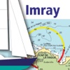
Marine Chart Symbols
- Категория: Navigation
- Дата выхода: 2010-02-19
- Текущая версия: 2.1.0
- Adult рейтинг: 4+
- Размер файла: 36.01 MB
- Разработчик: Imray
- Совместимость: Требуется iOS 8.0 или выше.
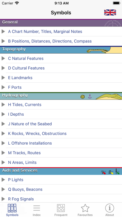
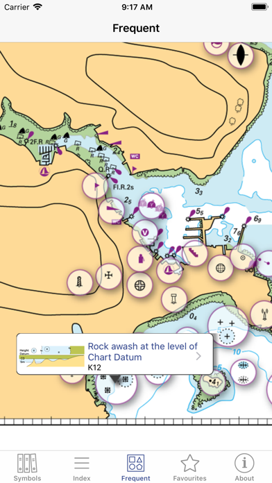
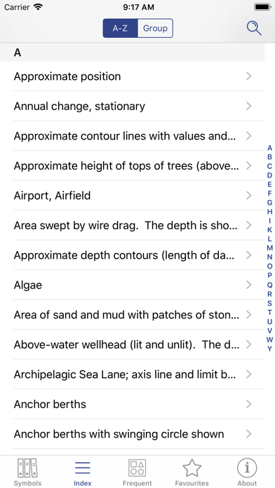
Complete reference for symbols, abbreviations and terms used in marine charts. Useful as an aid for teaching and learning, or as reminder for experienced sailors and sea cartography users. INCLUDES - Comprehensive coverage: more than 800 symbols and abbreviations. - Full content tree, organised for ease of use. - Index and grouped index for all entries. - Search facility. - Sample chart with visual popups for commonly used symbols. - Favourites: archive your best symbols. - Multi-language within the app (English/French). Full international standard from the IHO.All topics from the IHO, UKHO, SHOM, NOAA, CHS and other hydrographic offices: position, distance, direction, compass, features, landmarks, ports, tides, currents, seabed, rocks, wrecks, obstructions, offshore, tracks, routes, areas, limits, lights, buoys, beacons, fog, radar, radio, services, small craft. LANGUAGES English, French, German, Italian, Spanish ABOUT US Imray are a leading chart and marine book publishers, based in England and with a catalogue of charts for Europe, the Mediterranean and the Caribbean. Imray's pilot books cover the whole world in extensive detail. In partnership with Imray, software developers and sailors. Follow us on Twitter - http://twitter.com/imray_charts Facebook - imraynautical Look out for other applications in the Marine Navigation Series from Imray: TIDES PLANNER - tide predictions any date RULES & SIGNALS- Rule of the Road, signals at sea. RACING RULES - RYA Handy Guide to rules for sailing races