US Nautical Charts – Boating
- Категория: Navigation
- Дата выхода: 2017-10-23
- Текущая версия: 3.5
- Adult рейтинг: 4+
- Размер файла: 4.72 MB
- Разработчик: Vishwam B
- Совместимость: Требуется iOS 10.0 или выше.
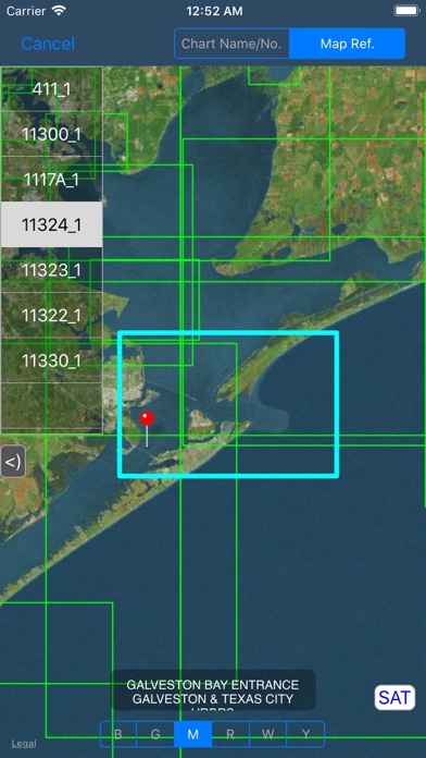
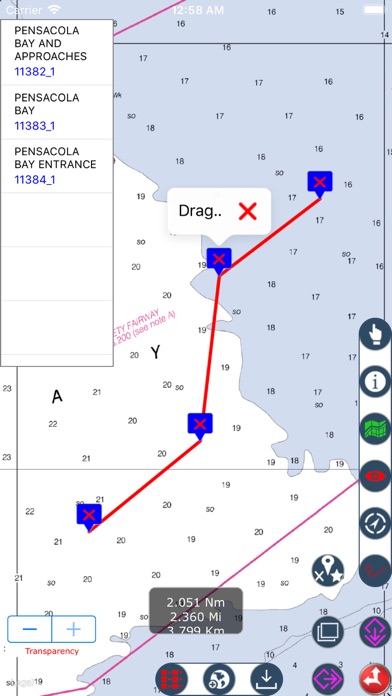
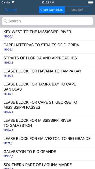
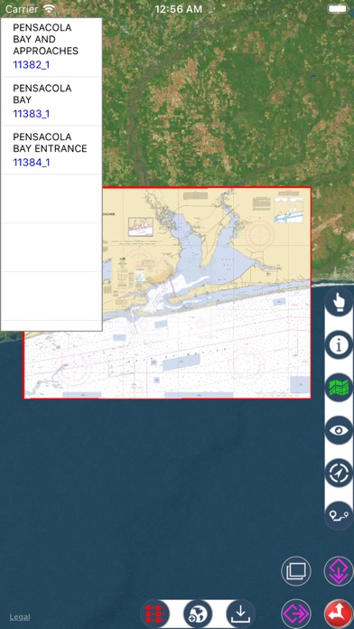
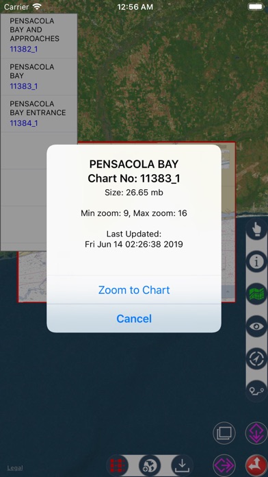
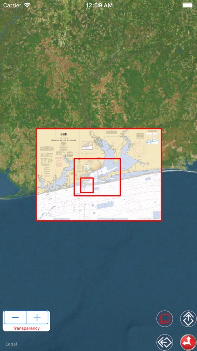
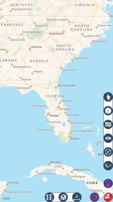
Nautical Charts map is a boating charts viewer which provides un-quilted NOAA nautical charts. These charts contain crucial information for sailors and boaters. These charts are representation of navigational features such as land areas, water depths, contours, dredged areas, un-surveyed areas, obstructions, anchoring areas, buoys, beacons, lights, signal stations, rocks, wrecks, port & harbour channels, seabeds, pile points, under water power & pipelines, radar stations, marinas, towers, silos and hundreds of standard navigation symbols and aids that are useful for navigation as reference. • Download & Store desired charts for any region. • Charts available for full NOAA coverage. • View stored Nautical charts Offline. • Load multiple charts at once. • Auto assigns seamless boundary for all loaded charts. • Get details of Nautical charts. • Draw Waypoints Route. Move, Save, Reload & Email options. • Zoom to any loaded chart with a finger click. • Set Transparency and compare Map & Nautical chart overlay. • Background downloading for larger sized charts. • Search Nautical charts by name or chart number if user is aware. • Chart Sequence reference. Highlights Selected Charts. • Manage desired colour to chart sequence for visibility. • Turn On/Off chart boundaries at user convenience. • Get list of chart names covered on a finger tap location. • Get co-ordinate of any map point. • Map user guide and disclaimer. • Set desired Map Type for chart overlays. • GPS to show and update user current location. • Update to latest charts without app. update.